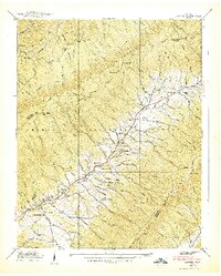
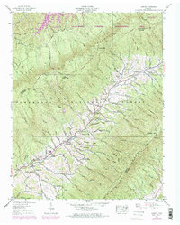
1938 Map of Carter
USGS Topo · Published 1938About this map
Stony Creek serves as the primary artery for settlement through this 1930s mountain landscape, with small communities like Buladeen, Carter, and Winner following its course. The topography is dominated by the Holston Mountain ridge to the west and the Iron Mountains to the southeast, both largely contained within the Cherokee National Forest. These heights are traversed by the early Appalachian Trail and the Blue Trail, while local routes such as the Josiah Trail connect the various ridges and gaps.
Find a feature on this map
101 named features on this map. Tap any name to fly to it.
Don’t see what you’re looking for? This feature index may not catch every label — zoom into the map to look around manually.
Map Details
Editions of this 1938 Carter Map
5 editions found
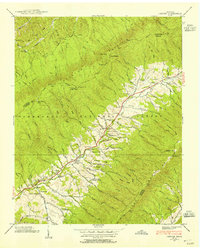
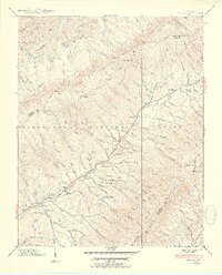
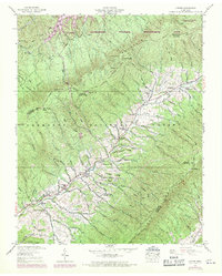
Other maps of this area

1891 · Roan Mountain
USGS Topo · 1:125,000

1891 · Abingdon
USGS Topo · 1:125,000

1893 · Cranberry
USGS Topo · 1:125,000

1894 · Roan Mountain
USGS Topo · 1:125,000

1894 · Abingdon
USGS Topo · 1:125,000

1895 · Cranberry
USGS Topo · 1:125,000

1897 · Bristol
USGS Topo · 1:125,000

1899 · Cranberry
USGS Topo · 1:125,000

1902 · Bristol
USGS Topo · 1:125,000

1902 · Cranberry
USGS Topo · 1:125,000