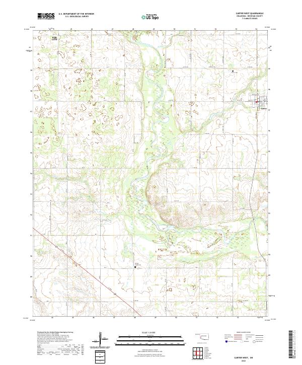
2022 Map of Carter West
USGS Topo · Published 2022About this map
The North Fork Red River winds through the central Beckham County landscape, creating a distinct topographical corridor that defines the western approach to Carter. This settlement, established at a section corner where Broadway meets Main St, sits within a well-ordered grid of county roads such as E1230 Rd and N1940 Rd. The map illustrates the transition from the edges of Elk City in the northwest corner down to the rural plains marked by seasonal watercourses like Flat Creek and Spring Cr. Local genealogical history is anchored by the Carter Cem north of town and the Spring Creek Cem further south, providing specific points of interest for family researchers. The terrain reflects the classic agricultural layout of the Oklahoma plains, with sections divided by long-established section-line roads and the intermittent flow of the river system.
Find a feature on this map
35 named features on this map. Tap any name to fly to it.
Don’t see what you’re looking for? This feature index may not catch every label — zoom into the map to look around manually.
Map Details
Editions of this 2022 Carter West Map
This is the sole edition of this map. No revisions or reprints were ever made.
Other maps of this area

1955 · Clinton
USGS Topo · 1:250,000

1957 · Clinton
USGS Topo · 1:250,000

1960 · Sayre
USGS Topo · 1:62,500

1961 · Willow
USGS Topo · 1:62,500

1961 · Retrop
USGS Topo · 1:62,500

1961 · Elk City
USGS Topo · 1:62,500

1985 · Elk City
USGS Topo · 1:100,000
1987 · Hocker
USGS Topo · 1:24,000
1989 · Willow
USGS Topo · 1:24,000
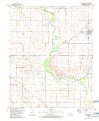
1989 · Carter West
USGS Topo · 1:24,000