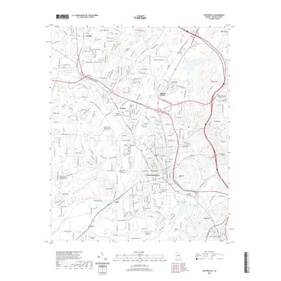
2020 Map of Cartersville
USGS Topo · Published 2020About this map
The Bartow County seat is anchored by the Bartow County Courthouse and a dense network of neighborhoods including Atco, Junta, and Rodgers. This 2020 map documents the modern footprint of Cartersville as it expands toward Emerson and Oakland Heights, framed by the winding Etowah River and Rowlands Bend. The landscape is a mix of industrial activity at Quarry Mtn and significant local history found in numerous burial grounds.
Find a feature on this map
46 named features on this map. Tap any name to fly to it.
Don’t see what you’re looking for? This feature index may not catch every label — zoom into the map to look around manually.
Map Details
Editions of this 2020 Cartersville Map
This is the sole edition of this map. No revisions or reprints were ever made.
Other maps of this area

1890 · Cartersville
USGS Topo · 1:125,000

1891 · Cartersville
USGS Topo · 1:125,000

1896 · Cartersville
USGS Topo · 1:125,000

1906 · Stilesboro
USGS Topo · 1:62,500

1907 · Acworth
USGS Topo · 1:62,500

1908 · Stilesboro
USGS Topo · 1:62,500

1909 · Acworth
USGS Topo · 1:62,500

1941 · Adairsville
USGS Topo · 1:62,500

1944 · Adairsville
USGS Topo · 1:62,500

1947 · Waleska
USGS Topo · 1:62,500