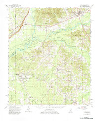
1961 Map of Carthage
USGS Topo · Published 1983About this map
Carthage serves as the hub of this Central Mississippi landscape during the early 1960s, situated at the junction of the Yockanookany River and the Pearl River. The river systems dominate the terrain, particularly the wide bottomlands where the Yockanookany River Grade and various sloughs like Duck Pond Slough weave through the Government Hills. The map captures a moment of established rural community life, marked by numerous country churches such as Forest Grove Ch and Mt Horeb Ch, alongside educational landmarks like Jordan High Sch and Midway High Sch. To the south, the boundary of the Bienville National Forest introduces a different character of land use, featuring the Forkville Lookout Tower. Transportation and industry of the era are visible through the Leake County Airfield and the Gulf Mobile and Ohio rail line passing through Ludlow.
Find a feature on this map
113 named features on this map. Tap any name to fly to it.
Don’t see what you’re looking for? This feature index may not catch every label — zoom into the map to look around manually.
Map Details
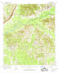
Editions of this 1961 Carthage Map
3 editions found

Other maps of this area

1921 · Forest
USGS Topo · 1:48,000

1922 · Forest
USGS Topo · 1:62,500

1922 · Morton
USGS Topo · 1:48,000

1922 · Pelahatchee
USGS Topo · 1:48,000

1924 · Pelahatchee
USGS Topo · 1:62,500

1924 · Morton
USGS Topo · 1:62,500

1950 · Forest
USGS Topo · 1:62,500

1950 · Pelahatchie
USGS Topo · 1:62,500

1951 · Morton
USGS Topo · 1:62,500

1952 · Pelahatchie
USGS Topo · 1:62,500