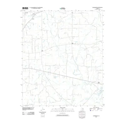
2010 Map of Cartwright
USGS Topo · Published 2010About this map
Cartwright and the surrounding Wood County countryside are defined by a dense network of watercourses and rural settlements. This 2010 survey shows the area's ongoing connection to natural resources, highlighted by the Way Lake Oil Field and Midway Lake Dam in the northwest. Local history is anchored at small crossroads like Stout, Oak Grove, and Little Hope, which serve as the primary landmarks in a landscape dominated by timber and agricultural drainage. The hydrologic complexity of the region is evident in the many tributaries feeding into Big Sandy Creek, including Turkey Creek, Buck Creek, and Burleson Branch. The terrain is dotted with small bodies of water like Cronès Pond and Round Lake, illustrating the typical East Texas wetland patterns where dozens of small branches and sloughs, such as Slough Bridge Branch, weave through the low-lying areas between farm-to-market roads.
Find a feature on this map
70 named features on this map. Tap any name to fly to it.
Don’t see what you’re looking for? This feature index may not catch every label — zoom into the map to look around manually.
Map Details
Editions of this 2010 Cartwright Map
This is the sole edition of this map. No revisions or reprints were ever made.
Other maps of this area

1956 · Tyler
USGS Topo · 1:250,000

1960 · Shady Grove
USGS Topo · 1:24,000

1960 · Hainesville
USGS Topo · 1:24,000

1960 · Winnsboro
USGS Topo · 1:24,000

1960 · Mineola
USGS Topo · 1:24,000

1960 · Cartwright
USGS Topo · 1:24,000

1960 · Newsome
USGS Topo · 1:24,000

1960 · Rhonesboro
USGS Topo · 1:24,000

1960 · Pleasant Grove
USGS Topo · 1:24,000

1960 · Quitman
USGS Topo · 1:24,000