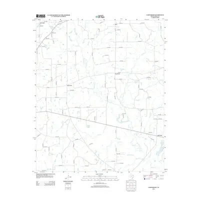
2012 Map of Cartwright
USGS Topo · Published 2012About this map
Cartwright and its surrounding Wood County countryside are defined by a complex network of small tributaries and rural road systems. The landscape is etched by the meandering courses of Big Sandy Cr, Buck Cr, and Turkey Cr, which feed numerous small bodies of water like Crones Pond and Midway Lake. This region of East Texas maintains its agricultural and resource-based character, evidenced by the presence of the Way Lake Oil Field in the northwest.
Find a feature on this map
102 named features on this map. Tap any name to fly to it.
Don’t see what you’re looking for? This feature index may not catch every label — zoom into the map to look around manually.
Map Details
Editions of this 2012 Cartwright Map
This is the sole edition of this map. No revisions or reprints were ever made.
Other maps of this area

1956 · Tyler
USGS Topo · 1:250,000

1960 · Shady Grove
USGS Topo · 1:24,000

1960 · Hainesville
USGS Topo · 1:24,000

1960 · Winnsboro
USGS Topo · 1:24,000

1960 · Mineola
USGS Topo · 1:24,000

1960 · Cartwright
USGS Topo · 1:24,000

1960 · Newsome
USGS Topo · 1:24,000

1960 · Rhonesboro
USGS Topo · 1:24,000

1960 · Pleasant Grove
USGS Topo · 1:24,000

1960 · Quitman
USGS Topo · 1:24,000