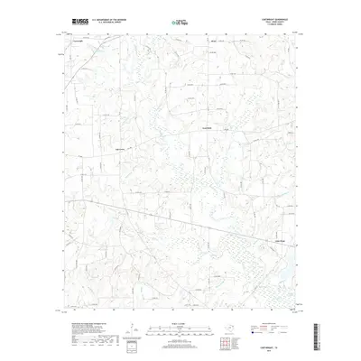
2019 Map of Cartwright
USGS Topo · Published 2019About this map
Big Sandy Creek and its complex network of tributaries define the landscape of eastern Wood County on this 2019 survey. The map details a predominantly rural area marked by established communities like Cartwright, Little Hope, and Oak Grove. The hydrology is particularly intricate here, with numerous small waterways such as Burleson Branch, Jarred Branch, and Stout Creek feeding into the larger drainage systems. This modern survey reflects the enduring settlement patterns of the region, where local roads often follow the natural contours shaped by these water bodies.
Find a feature on this map
82 named features on this map. Tap any name to fly to it.
Don’t see what you’re looking for? This feature index may not catch every label — zoom into the map to look around manually.
Map Details
Editions of this 2019 Cartwright Map
This is the sole edition of this map. No revisions or reprints were ever made.
Other maps of this area

1956 · Tyler
USGS Topo · 1:250,000

1960 · Shady Grove
USGS Topo · 1:24,000

1960 · Hainesville
USGS Topo · 1:24,000

1960 · Winnsboro
USGS Topo · 1:24,000

1960 · Mineola
USGS Topo · 1:24,000

1960 · Cartwright
USGS Topo · 1:24,000

1960 · Newsome
USGS Topo · 1:24,000

1960 · Rhonesboro
USGS Topo · 1:24,000

1960 · Pleasant Grove
USGS Topo · 1:24,000

1960 · Quitman
USGS Topo · 1:24,000