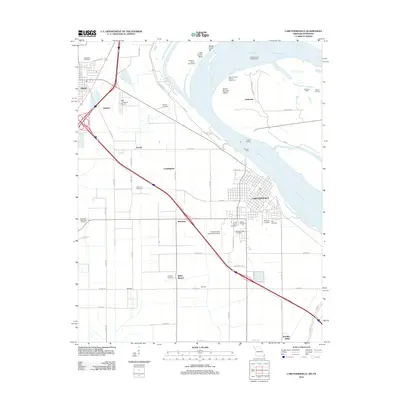
2012 Map of Caruthersville
USGS Topo · Published 2012About this map
Caruthersville and the surrounding river bottomlands of Pemiscot County are defined by a complex relationship with the Mississippi River. This landscape is marked by historic bend-related features such as Little Prairie Bend, Sandy Hook Bar, and Robinson Bayou Revetment, which underscore the ongoing efforts to manage the river's path. Further inland, the presence of an Indian Mound and a separate area marked Mounds indicates a deep history of human habitation on this fertile plain long before the establishment of modern settlements like Hayti, Stubtown, and Schult. A dense concentration of burial sites, including Morgan Ridge Cemetery, Little Prairie Cemetery, and Rice Cemetery, provides significant data for genealogists tracing family histories in this corner of the Missouri Bootheel. The transportation network includes the historic Powells Ferry and aviation hubs like Mid Continent Airport.
Find a feature on this map
69 named features on this map. Tap any name to fly to it.
Don’t see what you’re looking for? This feature index may not catch every label — zoom into the map to look around manually.
Map Details
Editions of this 2012 Caruthersville Map
This is the sole edition of this map. No revisions or reprints were ever made.
Other maps of this area

1939 · Portageville
USGS Topo · 1:62,500

1939 · Caruthersville
USGS Topo · 1:62,500

1940 · Pascola
USGS Topo · 1:62,500

1940 · Hayti
USGS Topo · 1:62,500

1951 · Caruthersville
USGS Topo · 1:62,500

1955 · Pascola
USGS Topo · 1:62,500

1955 · Hayti
USGS Topo · 1:62,500

1955 · Portageville
USGS Topo · 1:62,500

1956 · Dyersburg
USGS Topo · 1:250,000

1957 · Caruthersville
USGS Topo · 1:62,500