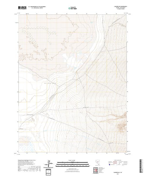
2021 Map of Carvers NE
USGS Topo · Published 2021About this map
Big Smoky Valley dominates this 2021 landscape in Nye County, Nevada, where the valley floor meets the rising slopes of the Toquima Range. The map details an arid environment managed through a network of remote access routes and vital water sources. Named springs like Charnock Springs and Big Blue Spring provide rare perennial water in a region defined by seasonal drainage, including Moores Cr and Anderson Cr. The infrastructure reflects the area's industrial and recreational utility, with routes such as the Western States Mine Rd and New Moores Creek Rd providing access to the rugged interior. These roads, along with the Natl Forest Develop Road 345 Rd, trace the historic paths used for mining and forest management, while labels like Toquima Rd highlight the geographical significance of the surrounding wilderness area.
Find a feature on this map
19 named features on this map. Tap any name to fly to it.
Don’t see what you’re looking for? This feature index may not catch every label — zoom into the map to look around manually.
Map Details
Editions of this 2021 Carvers NE Map
This is the sole edition of this map. No revisions or reprints were ever made.
Other maps of this area

1907 · Tonopah
USGS Topo · 1:250,000

1908 · Tonopah
USGS Topo · 1:250,000

1926 · Roberts Mountains
USGS Topo · 1:250,000

1929 · Roberts Mountains
USGS Topo · 1:250,000

1955 · Millett
USGS Topo · 1:250,000

1956 · Millett Ranch
USGS Topo · 1:62,500

1956 · Tonopah
USGS Topo · 1:250,000

1959 · Tonopah
USGS Topo · 1:250,000

1959 · Millett
USGS Topo · 1:250,000

1960 · Wildcat Peak
USGS Topo · 1:62,500