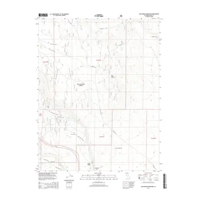
2015 Map of Casa Diablo Mountain
USGS Topo · Published 2015About this map
Casa Diablo Mountain and the surrounding Volcanic Tableland dominate this section of the High Sierra region within the Inyo National Forest. The landscape is defined by its complex geology and water management infrastructure, most notably the Owens River Gorge. This steep canyon is traced by the Owens Gorge Pipeline and features significant engineering works like Tunnel Number One and Tunnel Number Two.
Find a feature on this map
26 named features on this map. Tap any name to fly to it.
Don’t see what you’re looking for? This feature index may not catch every label — zoom into the map to look around manually.
Map Details
Editions of this 2015 Casa Diablo Mountain Map
This is the sole edition of this map. No revisions or reprints were ever made.
Other maps of this area

1912 · Mt. Goddard
USGS Topo · 1:125,000

1913 · Bishop
USGS Topo · 1:125,000

1914 · Mt. Morrison
USGS Topo · 1:125,000

1917 · White Mountain
USGS Topo · 1:125,000

1947 · Mariposa
USGS Topo · 1:250,000

1948 · Mariposa
USGS Topo · 1:250,000

1949 · Mt. Tom
USGS Topo · 1:62,500

1949 · Bishop
USGS Topo · 1:62,500

1951 · Mt. Tom
USGS Topo · 1:62,500

1951 · Bishop
USGS Topo · 1:62,500