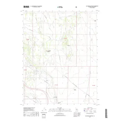
2018 Map of Casa Diablo Mountain
USGS Topo · Published 2018About this map
Casa Diablo Mtn anchors this high-elevation desert landscape in Mono County, where the transition between volcanic formations and deep river canyons is sharply defined. The terrain is marked by the expansive Volcanic Tableland to the southeast and the steep descent into the Owens River Gorge, a significant topographical feature that cuts through the volcanic rock. Water resources in this arid environment are concentrated at Antelope Spring and along the Owens River, which flows near the southern boundary.
Find a feature on this map
27 named features on this map. Tap any name to fly to it.
Don’t see what you’re looking for? This feature index may not catch every label — zoom into the map to look around manually.
Map Details
Editions of this 2018 Casa Diablo Mountain Map
This is the sole edition of this map. No revisions or reprints were ever made.
Other maps of this area

1912 · Mt. Goddard
USGS Topo · 1:125,000

1913 · Bishop
USGS Topo · 1:125,000

1914 · Mt. Morrison
USGS Topo · 1:125,000

1917 · White Mountain
USGS Topo · 1:125,000

1947 · Mariposa
USGS Topo · 1:250,000

1948 · Mariposa
USGS Topo · 1:250,000

1949 · Mt. Tom
USGS Topo · 1:62,500

1949 · Bishop
USGS Topo · 1:62,500

1951 · Mt. Tom
USGS Topo · 1:62,500

1951 · Bishop
USGS Topo · 1:62,500