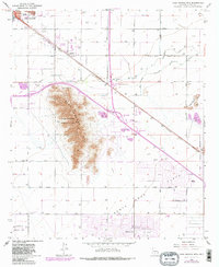
1965 Map of Casa Grande Mts
USGS Topo · Published 1983About this map
The Casa Grande Mts dominate this Pinal County landscape, flanked by the growing agricultural and residential developments of Casa Grande and Arizona City. This mid-1960s survey, with later revisions, shows a region defined by its water management and transportation corridors. The Casa Grande Canal and Santa Cruz Flats reveal the intensive irrigation supporting local agriculture, while the Southern Pacific railroad and early interstate interchanges at Interchange 174 and Interchange 198 mark the area's role as a transit hub.
Find a feature on this map
34 named features on this map. Tap any name to fly to it.
Don’t see what you’re looking for? This feature index may not catch every label — zoom into the map to look around manually.
Map Details
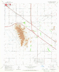
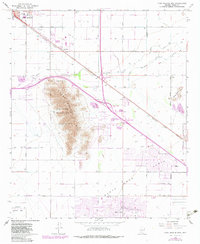
Editions of this 1965 Casa Grande Mts Map
3 editions found
Other maps of this area

1922 · Casa Grande
USGS Topo · 1:62,500

1922 · Signal Peak
USGS Topo · 1:62,500

1924 · Signal Peak
USGS Topo · 1:62,500

1924 · Casa Grande
USGS Topo · 1:62,500

1942 · Silver Reef Mountains
USGS Topo · 1:62,500

1947 · Eloy
USGS Topo · 1:62,500

1948 · Eloy
USGS Topo · 1:62,500

1956 · Tucson
USGS Topo · 1:250,000

1958 · Tucson
USGS Topo · 1:250,000

1959 · Tucson
USGS Topo · 1:250,000