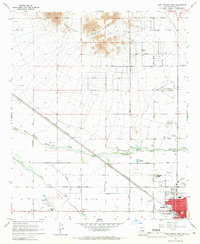
1965 Map of Casa Grande West
USGS Topo · Published 1967About this map
Casa Grande expands into the desert valley in the mid-1960s, a period marked by the transition from rural land to suburban development. The Southern Pacific railroad cuts diagonally through the landscape, acting as a historical spine for the town's growth. To the north, the Sacaton Mountains and Burgess Peak overlook a terrain shaped by the Casa Grande Canal and the erratic paths of the North Branch Santa Cruz Wash.
Find a feature on this map
38 named features on this map. Tap any name to fly to it.
Don’t see what you’re looking for? This feature index may not catch every label — zoom into the map to look around manually.
Map Details
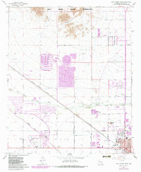
Editions of this 1965 Casa Grande West Map
2 editions found
Other maps of this area

1907 · Sacaton
USGS Topo · 1:62,500

1914 · Gila Butte
USGS Topo · 1:62,500

1917 · Gila Butte
USGS Topo · 1:62,500

1922 · Casa Grande
USGS Topo · 1:62,500

1922 · Signal Peak
USGS Topo · 1:62,500

1924 · Signal Peak
USGS Topo · 1:62,500

1924 · Casa Grande
USGS Topo · 1:62,500

1952 · Gila Butte SE
USGS Topo · 1:24,000

1952 · Sacaton Butte
USGS Topo · 1:24,000

1952 · Gila Butte
USGS Topo · 1:62,500