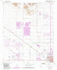
1965 Map of Casa Grande West
USGS Topo · Published 1983About this map
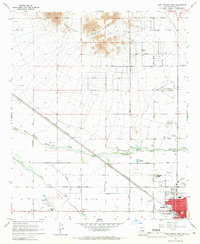
The northern reaches of Casa Grande and the southern edge of the Gila River Indian Reservation anchor this landscape, where the agricultural and industrial expansion of Pinal County is clearly visible. The path of the Southern Pacific railroad cuts through the terrain, serving as a primary corridor alongside the intricate irrigation network of the Casa Grande Canal. Near the community of Francisco Grande, an expansive Golf Course and athletic fields suggest the area's development as a destination for leisure and sport. To the north, the Sacaton Mountains rise above the basin, while the complex drainage of the Santa Cruz Wash and its North Branch snake across the desert floor. Large-scale mining or industrial activity is evident through a massive Tailings Pond, and history is acknowledged at the Mormon Battalion Historical Monument near the city's corporate boundary.
Find a feature on this map
32 named features on this map. Tap any name to fly to it.
Don’t see what you’re looking for? This feature index may not catch every label — zoom into the map to look around manually.
Map Details
Editions of this 1965 Casa Grande West Map
2 editions found
Other maps of this area

1907 · Sacaton
USGS Topo · 1:62,500

1914 · Gila Butte
USGS Topo · 1:62,500

1917 · Gila Butte
USGS Topo · 1:62,500

1922 · Casa Grande
USGS Topo · 1:62,500

1922 · Signal Peak
USGS Topo · 1:62,500

1924 · Signal Peak
USGS Topo · 1:62,500

1924 · Casa Grande
USGS Topo · 1:62,500

1952 · Gila Butte SE
USGS Topo · 1:24,000

1952 · Sacaton Butte
USGS Topo · 1:24,000

1952 · Gila Butte
USGS Topo · 1:62,500