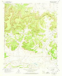
1963 Map of Casamero Lake
USGS Topo · Published 1974About this map
The Continental Divide snake through this high-desert landscape in McKinley County, defining a rugged terrain of mesas and buttes as it appeared in the early 1960s. At the heart of the region's commercial and social history sits the Borrego Pass Trading Post, a vital outpost in this arid environment. The map captures a mix of indigenous heritage and ranching life, noting a specific Indian Ruin north of Casamero Draw and numerous isolated water sources critical to the area's survival.
Find a feature on this map
23 named features on this map. Tap any name to fly to it.
Don’t see what you’re looking for? This feature index may not catch every label — zoom into the map to look around manually.
Map Details
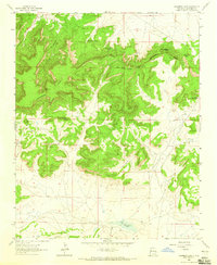
Editions of this 1963 Casamero Lake Map
2 editions found
Other maps of this area

1883 · Mt. Taylor
USGS Topo · 1:250,000

1886 · Wingate
USGS Topo · 1:250,000

1886 · Mt. Taylor
USGS Topo · 1:250,000

1892 · Wingate
USGS Topo · 1:250,000

1892 · Mt. Taylor
USGS Topo · 1:250,000

1899 · Mt. Taylor
USGS Topo · 1:250,000

1954 · Gallup
USGS Topo · 1:250,000

1957 · Goat Mountain
USGS Topo · 1:24,000

1958 · Gallup
USGS Topo · 1:250,000

1958 · Albuquerque
USGS Topo · 1:250,000
Featured Places
- Eastern Navajo Agency, NM
- Borrego Pass, NM
- Casamero Lake, Eastern Navajo Agency
- McKinley County, NM
- United States