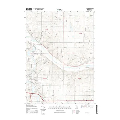
2014 Map of Cascade
USGS Topo · Published 2014About this map
The Grand River and Thornapple River converge in this western Michigan landscape, anchoring the settlements of Ada and Cascade. The terrain is defined by a dense network of residential development interspersed with significant topographical features like Thorne Hills and local water bodies including Quiggle Lake and Bailey Lake. A notable stretch of the N Country National Scenic Trail winds through the northern section, crossing through the hills and hollows near Honey Creek.
Find a feature on this map
133 named features on this map. Tap any name to fly to it.
Don’t see what you’re looking for? This feature index may not catch every label — zoom into the map to look around manually.
Map Details
Editions of this 2014 Cascade Map
This is the sole edition of this map. No revisions or reprints were ever made.
Other maps of this area

1914 · Grand Rapids
USGS Topo · 1:62,500

1918 · Cedar Springs
USGS Topo · 1:62,500

1918 · Lowell
USGS Topo · 1:62,500

1943 · Cedar Springs
USGS Topo · 1:62,500

1943 · Grand Rapids
USGS Topo · 1:62,500

1943 · Lowell
USGS Topo · 1:62,500

1954 · Midland
USGS Topo · 1:250,000

1958 · Midland
USGS Topo · 1:250,000

1958 · Grand Rapids
USGS Topo · 1:250,000

1959 · Midland
USGS Topo · 1:250,000
Featured Places
- Cascade Charter Township, MI
- Ada Township, MI
- Lowell Charter Township, MI
- Vergennes Township, MI
- Cascade, Cascade Charter Township