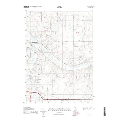
2019 Map of Cascade
USGS Topo · Published 2019About this map
The Grand River and Thornapple River converge near the settlement of Ada, creating a landscape defined by significant river bends and alluvial valleys. In this 2019 data, the suburban character of Forest Hills and Cascade is evident through an extensive network of residential streets such as Thorncrest Dr SE and Bridgewater Dr SE. The area maintains several small airfields, including Somerville Airport and the Van Strien Company Airport along the riverbanks.
Find a feature on this map
132 named features on this map. Tap any name to fly to it.
Don’t see what you’re looking for? This feature index may not catch every label — zoom into the map to look around manually.
Map Details
Editions of this 2019 Cascade Map
This is the sole edition of this map. No revisions or reprints were ever made.
Other maps of this area

1914 · Grand Rapids
USGS Topo · 1:62,500

1918 · Cedar Springs
USGS Topo · 1:62,500

1918 · Lowell
USGS Topo · 1:62,500

1943 · Cedar Springs
USGS Topo · 1:62,500

1943 · Grand Rapids
USGS Topo · 1:62,500

1943 · Lowell
USGS Topo · 1:62,500

1954 · Midland
USGS Topo · 1:250,000

1958 · Midland
USGS Topo · 1:250,000

1958 · Grand Rapids
USGS Topo · 1:250,000

1959 · Midland
USGS Topo · 1:250,000
Featured Places
- Cascade Charter Township, MI
- Ada Township, MI
- Lowell Charter Township, MI
- Vergennes Township, MI
- Cascade, Cascade Charter Township