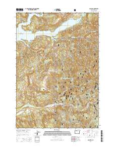
2014 Map of Cascadia
USGS Topo · Published 2014About this map
The South Santiam River carves a deep path through the Cascade Range, where the small settlement of Cascadia sits along the Santiam Hwy. This 2014 survey documents a landscape defined by significant water features and steep terrain, including the northern waters of Green Peter Lake and the Green Peter Peninsula. Local history is visible in the presence of the Old Santiam Wagon Rd, a corridor reflecting early transportation routes through the Willamette National Forest. Geologists and researchers can trace the dramatic elevation changes at High Deck and Moose Mountain, as well as numerous cascades such as Upper Soda Falls and Rainbow Falls. To the northwest, Whitcomb Island and the Whitcomb Island Cem provide specific points of interest for genealogists tracing families in the Santiam canyon.
Find a feature on this map
83 named features on this map. Tap any name to fly to it.
Don’t see what you’re looking for? This feature index may not catch every label — zoom into the map to look around manually.
Map Details
Editions of this 2014 Cascadia Map
This is the sole edition of this map. No revisions or reprints were ever made.
Other maps of this area

1929 · Mill City
USGS Topo · 1:125,000

1934 · Mc Kenzie Bridge
USGS Topo · 1:96,000

1940 · Mc Kenzie Bridge
USGS Topo · 1:125,000

1951 · Sweet Home
USGS Topo · 1:62,500

1951 · Snow Peak
USGS Topo · 1:62,500

1953 · Salem
USGS Topo · 1:250,000

1954 · Salem
USGS Topo · 1:250,000

1955 · Cascadia
USGS Topo · 1:62,500

1956 · Quartzville
USGS Topo · 1:62,500

1960 · Salem
USGS Topo · 1:250,000