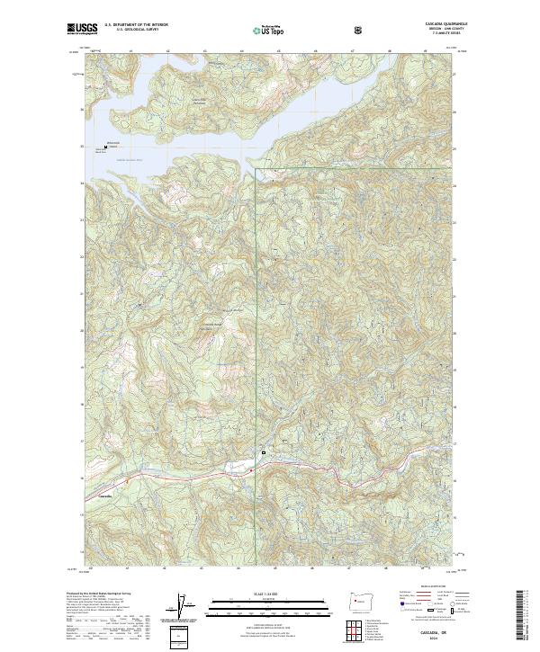
2024 Map of Cascadia
USGS Topo · Published 2024About this map
The South Santiam River winds through this section of the Willamette National Forest, where the settlement of Cascadia serves as a focal point for the surrounding river valley. The landscape is defined by its dramatic verticality, featuring multiple water features such as Upper Soda Falls, Lower Soda Falls, and Rainbow Falls. To the north, the Middle Santiam River flows past the Green Peter Peninsula, a landform created by the reservoir's reach into the foothills.
Find a feature on this map
44 named features on this map. Tap any name to fly to it.
Don’t see what you’re looking for? This feature index may not catch every label — zoom into the map to look around manually.
Map Details
Editions of this 2024 Cascadia Map
This is the sole edition of this map. No revisions or reprints were ever made.
Other maps of this area

1929 · Mill City
USGS Topo · 1:125,000

1934 · Mc Kenzie Bridge
USGS Topo · 1:96,000

1940 · Mc Kenzie Bridge
USGS Topo · 1:125,000

1951 · Sweet Home
USGS Topo · 1:62,500

1951 · Snow Peak
USGS Topo · 1:62,500

1953 · Salem
USGS Topo · 1:250,000

1954 · Salem
USGS Topo · 1:250,000

1955 · Cascadia
USGS Topo · 1:62,500

1956 · Quartzville
USGS Topo · 1:62,500

1960 · Salem
USGS Topo · 1:250,000