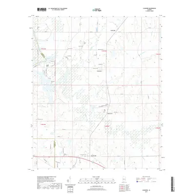
2018 Map of Casemore
USGS Topo · Published 2018About this map
Lock Five and the adjacent Demopolis Lake dominate the western edge of this landscape, marking a critical point of navigation and water control where the Black Warrior River flows through the Black Belt. Moving east from the riverbanks, the terrain transitions into a patchwork of rural hamlets and agricultural lands, centered around the small communities of Cedarville, Casemore, and Oak Grove. The map is particularly rich for genealogical research, documenting numerous family and community burial grounds such as Saint Andrews Cem, Mount Olive Cem, and the Willis-Scott Cem. Drainage patterns are defined by the meandering courses of Big Prairie Creek and Little Prairie Cr, which slice through the flatlands. Further south, the settlement of Prairieville sits along a network of county roads, providing a clear picture of modern land use and historical settlement patterns in Hale and Marengo counties.
Find a feature on this map
58 named features on this map. Tap any name to fly to it.
Don’t see what you’re looking for? This feature index may not catch every label — zoom into the map to look around manually.
Map Details
Editions of this 2018 Casemore Map
This is the sole edition of this map. No revisions or reprints were ever made.
Other maps of this area

1946 · Demopolis
USGS Topo · 1:24,000

1947 · Demopolis
USGS Topo · 1:24,000

1947 · Mason Bend
USGS Topo · 1:24,000

1948 · Mason Bend
USGS Topo · 1:24,000

1953 · Montgomery
USGS Topo · 1:250,000

1956 · Montgomery
USGS Topo · 1:250,000

1957 · Montgomery
USGS Topo · 1:250,000

1968 · Uniontown West
USGS Topo · 1:24,000

1968 · Gallion
USGS Topo · 1:24,000

1970 · Old Spring Hill
USGS Topo · 1:24,000