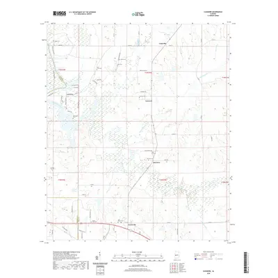
2020 Map of Casemore
USGS Topo · Published 2020About this map
Prairieville and Oak Grove sit at the heart of this Black Belt landscape, where the flat, fertile soils of Hale Co meet the borders of Greene and Marengo counties. The map reveals a dense network of family and community burial sites, including Saint Andrews Cem, Evening Star Cem, and Micken Cem, which often serve as the primary remaining markers of early rural settlements. The drainage patterns of Big German Creek and Big Prairie Creek dominate the topography, illustrating how water access shaped the placement of local landmarks like Lock Five and the small crossroads at Cedarville. Numerous country roads such as Cat Bottom Rd and Eaton Quarters Rd wind through the creek bottoms, connecting the scattered homesteads and churchyards that define this agricultural region's historical geography.
Find a feature on this map
65 named features on this map. Tap any name to fly to it.
Don’t see what you’re looking for? This feature index may not catch every label — zoom into the map to look around manually.
Map Details
Editions of this 2020 Casemore Map
This is the sole edition of this map. No revisions or reprints were ever made.
Other maps of this area

1946 · Demopolis
USGS Topo · 1:24,000

1947 · Demopolis
USGS Topo · 1:24,000

1947 · Mason Bend
USGS Topo · 1:24,000

1948 · Mason Bend
USGS Topo · 1:24,000

1953 · Montgomery
USGS Topo · 1:250,000

1956 · Montgomery
USGS Topo · 1:250,000

1957 · Montgomery
USGS Topo · 1:250,000

1968 · Uniontown West
USGS Topo · 1:24,000

1968 · Gallion
USGS Topo · 1:24,000

1970 · Old Spring Hill
USGS Topo · 1:24,000