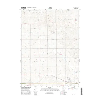
2015 Map of Casey
USGS Topo · Published 2015About this map
Casey sits at the southern edge of this landscape, positioned along the border where Guthrie Co meets Adair Co. The town serves as a focal point for a rural township structure defined by the meandering courses of the Middle River and the S Fork Middle River. These waterways, along with Beaver Cr and S Beaver Cr to the north, dictate the undulating topography that breaks the regular grid of local roads like Co Rd N72 and Fallow Ave. For those tracing local history, several burial grounds are preserved in the countryside, including Dalmanutha Cem to the north and Quaker Cem and Stanfield Cem located east of the main settlement. The map illustrates a typical midwestern agricultural corridor where small-town residential blocks give way to a network of section-line roads and named rural trails.
Find a feature on this map
51 named features on this map. Tap any name to fly to it.
Don’t see what you’re looking for? This feature index may not catch every label — zoom into the map to look around manually.
Map Details
Editions of this 2015 Casey Map
This is the sole edition of this map. No revisions or reprints were ever made.
Other maps of this area

1952 · Panora
USGS Topo · 1:62,500

1954 · Greenfield
USGS Topo · 1:62,500

1954 · Omaha
USGS Topo · 1:250,000

1957 · Omaha
USGS Topo · 1:250,000

1958 · Omaha
USGS Topo · 1:250,000

1971 · Adair South
USGS Topo · 1:24,000

1971 · Canby
USGS Topo · 1:24,000

1971 · North Branch
USGS Topo · 1:24,000

1971 · Casey
USGS Topo · 1:24,000

1971 · Guthrie Center West
USGS Topo · 1:24,000