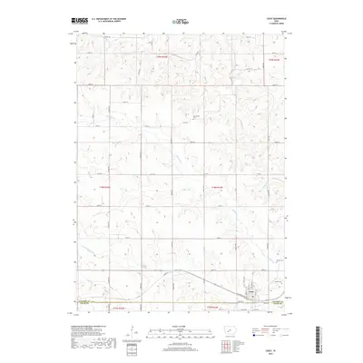
2018 Map of Casey
USGS Topo · Published 2018About this map
Casey sits at the intersection of the Guthrie Co and Adair Co line, serving as the primary hub of this agricultural landscape in 2018. The terrain is defined by the winding course of the Middle River and the S Fork Middle River, which create a complex drainage pattern across the central and southern portions of the quadrangle. Smaller tributaries like Beaver Cr and S Beaver Cr cut through the northern sections, flanked by a grid of rural roads. Genealogists and local historians will find several well-documented burial grounds preserved in the countryside, including Dalmanutha Cem to the north and the Quaker Cem and Stanfield Cem located east of the town center. The map documents the enduring rural character of the region, where legacy property boundaries and waterway crossings remain central to the local geography.
Find a feature on this map
51 named features on this map. Tap any name to fly to it.
Don’t see what you’re looking for? This feature index may not catch every label — zoom into the map to look around manually.
Map Details
Editions of this 2018 Casey Map
This is the sole edition of this map. No revisions or reprints were ever made.
Other maps of this area

1952 · Panora
USGS Topo · 1:62,500

1954 · Greenfield
USGS Topo · 1:62,500

1954 · Omaha
USGS Topo · 1:250,000

1957 · Omaha
USGS Topo · 1:250,000

1958 · Omaha
USGS Topo · 1:250,000

1971 · Adair South
USGS Topo · 1:24,000

1971 · Canby
USGS Topo · 1:24,000

1971 · North Branch
USGS Topo · 1:24,000

1971 · Casey
USGS Topo · 1:24,000

1971 · Guthrie Center West
USGS Topo · 1:24,000