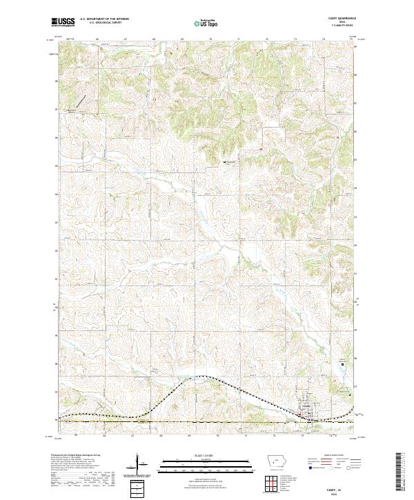
2022 Map of Casey
USGS Topo · Published 2022About this map
The town of Casey sits at the southern edge of this West Central Iowa landscape, straddling the line between Guthrie Co and Adair Co. This territory is defined by the winding paths of the Middle River and the S Fork Middle River, which cut through the agricultural sections of the Loess Hills region. For genealogists and local historians, several burial sites are mapped across the countryside, including Dalmanutha Cem to the north, and both Spring Valley Cem and Stanfield Cem located east of the main settlement. The presence of the Stagecoach Airport in the northwest corner highlights the mix of traditional rural land use and specialized local infrastructure. Small tributaries like Mason Cr, Beaver Cr, and S Beaver Cr drain the surrounding fields, illustrating the intricate hydrography that has shaped the area's development.
Find a feature on this map
53 named features on this map. Tap any name to fly to it.
Don’t see what you’re looking for? This feature index may not catch every label — zoom into the map to look around manually.
Map Details
Editions of this 2022 Casey Map
This is the sole edition of this map. No revisions or reprints were ever made.
Other maps of this area

1952 · Panora
USGS Topo · 1:62,500

1954 · Greenfield
USGS Topo · 1:62,500

1954 · Omaha
USGS Topo · 1:250,000

1957 · Omaha
USGS Topo · 1:250,000

1958 · Omaha
USGS Topo · 1:250,000

1971 · Adair South
USGS Topo · 1:24,000

1971 · Canby
USGS Topo · 1:24,000

1971 · North Branch
USGS Topo · 1:24,000

1971 · Casey
USGS Topo · 1:24,000

1971 · Guthrie Center West
USGS Topo · 1:24,000