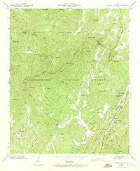
1946 Map of Cashes Valley
USGS Topo · Published 1972About this map
Fightingtown Creek and the Ellijay River define the drainage of this north Georgia landscape, where agricultural clearings are carved out of the Chattahoochee National Forest. This 1946 field examination reveals a network of rural life connected by the Louisville and Nashville railroad and the Tennessee and Louisville Highway. Settlements like Cherrylog and Santaluca serve as anchors in a terrain marked by deep gaps such as Hudson Gap and Polecat Gap. Family and community life is documented through numerous landmarks, including Higdon Mill, the Cashes Valley School, and several churches like Macedonia Church and Mt Pleasant Church. The map also traces the Blue Ridge Divide as it cuts across the high ground of Prince Mountain and Bush Head Mountain, illustrating the relationship between the watershed and the scattered homesteads of the era.
Find a feature on this map
83 named features on this map. Tap any name to fly to it.
Don’t see what you’re looking for? This feature index may not catch every label — zoom into the map to look around manually.
Map Details
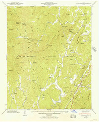
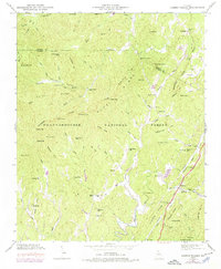
Editions of this 1946 Cashes Valley Map
3 editions found
Other maps of this area

1886 · Dalton
USGS Topo · 1:125,000

1888 · Ellijay
USGS Topo · 1:125,000

1892 · Ellijay
USGS Topo · 1:125,000

1892 · Dalton
USGS Topo · 1:125,000

1897 · Dalton
USGS Topo · 1:125,000

1898 · Ellijay
USGS Topo · 1:125,000

1911 · Ellijay
USGS Topo · 1:125,000

1911 · Cohutta Mtn
USGS Topo · 1:62,500

1913 · Cohutta Mtn.
USGS Topo · 1:62,500

1914 · Talking Rock
USGS Topo · 1:62,500