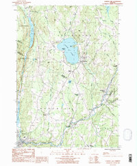
1986 Map of Caspian Lake
USGS Topo · Published 1987About this map
Caspian Lake serves as the central focal point of this Vermont landscape, surrounded by the high-elevation terrain of Barr Hill and Baker Hill. This mid-1980s survey illustrates a rural geography defined by small village centers and crossroads, such as Greensboro and Hardwick Street, connected by winding valley roads. The southern portion of the map is dominated by the Lamoille River, which flows through East Hardwick and near Hardwick, reflecting the traditional Vermont valley settlement patterns where industry and commerce historically followed the water's path.
Find a feature on this map
52 named features on this map. Tap any name to fly to it.
Don’t see what you’re looking for? This feature index may not catch every label — zoom into the map to look around manually.
Map Details
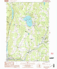
Editions of this 1986 Caspian Lake Map
2 editions found
Other maps of this area

1928 · Hardwick
USGS Topo · 1:62,500

1934 · Hardwick
USGS Topo · 1:48,000

1935 · Lyndonville
USGS Topo · 1:48,000

1938 · Hardwick
USGS Topo · 1:62,500

1938 · St. Johnsbury
USGS Topo · 1:48,000

1939 · Lyndonville
USGS Topo · 1:62,500

1939 · Plainfield
USGS Topo · 1:48,000

1940 · Plainfield
USGS Topo · 1:62,500

1943 · Plainfield
USGS Topo · 1:62,500

1943 · St. Johnsbury
USGS Topo · 1:62,500