
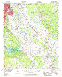
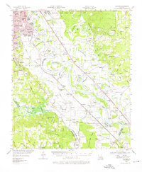
1955 Map of Caspiana
USGS Topo · Published 1956About this map
The Red River dominates this mid-1950s survey of the Caddo and Bossier Parish boundary, revealing a landscape defined by shifting watercourses and the infrastructure of the postwar era. In the north, the sprawling Barksdale Air Force Base sits adjacent to the developing outskirts of Shreveport and Bossier City, where education and healthcare hubs like Centenary College and the VA Center appear alongside local landmarks like Rainbow Airport.
Find a feature on this map
215 named features on this map. Tap any name to fly to it.
Don’t see what you’re looking for? This feature index may not catch every label — zoom into the map to look around manually.
Map Details
Editions of this 1955 Caspiana Map
3 editions found
Other maps of this area

1932 · Bossier SE
USGS Topo · 1:31,680

1932 · Bossier SW
USGS Topo · 1:31,680

1932 · Shreveport SE
USGS Topo · 1:31,680

1938 · Arnsberg
USGS Topo · 1:31,680

1941 · East Point
USGS Topo · 1:31,680

1941 · Forbing
USGS Topo · 1:31,680

1941 · Bossier Point
USGS Topo · 1:31,680

1945 · Grand Cane
USGS Topo · 1:62,500

1945 · Greenwood
USGS Topo · 1:62,500

1945 · Mansfield
USGS Topo · 1:62,500