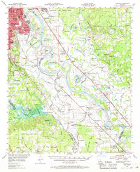
1955 Map of Caspiana
USGS Topo · Published 1969About this map
The meandering Red River corridor south of Shreveport and Bossier City reveals a landscape defined by sharp river bends and an extensive network of rural schools and churches. This mid-century survey illustrates the rural-industrial character of the Red River valley, where the Elm Grove Oil and Gas Field and Caspiana Gas Field operate alongside historic agricultural settlements. The eastern boundary of the river is dominated by the sprawling Barksdale Air Force Base, while the western side features complex water systems like Wallace Lake and its many bayous. For those researching local family history, the map provides precise locations for numerous community landmarks, including Ravenwood Sch, Daisy Grove Sch, and Evergreen Ch, which served the small riverfront towns of Caspiana, Robson, and Taylortown before modern consolidation.
Find a feature on this map
132 named features on this map. Tap any name to fly to it.
Don’t see what you’re looking for? This feature index may not catch every label — zoom into the map to look around manually.
Map Details
Editions of this 1955 Caspiana Map
3 editions found

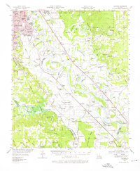
Other maps of this area

1932 · Bossier SE
USGS Topo · 1:31,680

1932 · Bossier SW
USGS Topo · 1:31,680

1932 · Shreveport SE
USGS Topo · 1:31,680

1938 · Arnsberg
USGS Topo · 1:31,680

1941 · East Point
USGS Topo · 1:31,680

1941 · Forbing
USGS Topo · 1:31,680

1941 · Bossier Point
USGS Topo · 1:31,680

1945 · Grand Cane
USGS Topo · 1:62,500

1945 · Greenwood
USGS Topo · 1:62,500

1945 · Mansfield
USGS Topo · 1:62,500