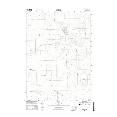
2017 Map of Cass City
USGS Topo · Published 2017About this map
Cass City serves as the primary hub of this landscape, situated at the junction where the North Branch and South Branch Cass River converge into the main Cass River. The village grid is clearly defined by historical thoroughfares like W Main St and Seeger St, reflecting a well-established community core. Further south, the smaller settlement of Deford marks a distinct point along the southern edge of the survey area.
Find a feature on this map
72 named features on this map. Tap any name to fly to it.
Don’t see what you’re looking for? This feature index may not catch every label — zoom into the map to look around manually.
Map Details
Editions of this 2017 Cass City Map
This is the sole edition of this map. No revisions or reprints were ever made.
Other maps of this area

1954 · Flint
USGS Topo · 1:250,000

1958 · Flint
USGS Topo · 1:250,000

1963 · New Greenleaf
USGS Topo · 1:24,000

1963 · East Dayton
USGS Topo · 1:24,000

1963 · Kingston
USGS Topo · 1:24,000

1963 · Cass City
USGS Topo · 1:24,000

1963 · Ellington
USGS Topo · 1:24,000

1963 · Shabbona
USGS Topo · 1:24,000

1963 · Gagetown
USGS Topo · 1:24,000

1963 · Owendale
USGS Topo · 1:24,000