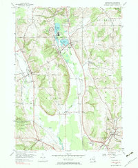
1954 Map of Cassadaga
USGS Topo · Published 1983About this map
Lily Dale stands as a focal point of this mid-century survey, situated along the shores of the Cassadaga Lakes. This spiritualist community, featuring its notable Temple, is surrounded by the interconnected waters of Upper Lake, Middle Lake, and Lower Lake. To the south, the village of Cassadaga and the nearby Burnhams transition into a landscape shaped by the New York Central railroad and the winding path of Cassadaga Creek.
Find a feature on this map
51 named features on this map. Tap any name to fly to it.
Don’t see what you’re looking for? This feature index may not catch every label — zoom into the map to look around manually.
Map Details
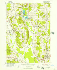
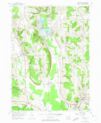
Editions of this 1954 Cassadaga Map
3 editions found
Other maps of this area

1900 · Dunkirk
USGS Topo · 1:62,500

1900 · Cherry Creek
USGS Topo · 1:62,500

1904 · Chautaqua
USGS Topo · 1:62,500

1905 · Jamestown
USGS Topo · 1:62,500

1941 · Cherry Creek
USGS Topo · 1:62,500

1941 · Chautauqua
USGS Topo · 1:62,500

1942 · Jamestown
USGS Topo · 1:62,500

1943 · Dunkirk
USGS Topo · 1:62,500

1954 · Chautauqua
USGS Topo · 1:24,000

1954 · Ellery Center
USGS Topo · 1:24,000