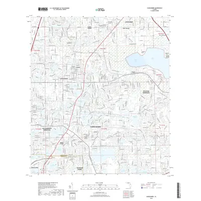
2018 Map of Casselberry
USGS Topo · Published 2018About this map
Sanford and the surrounding suburbs of Seminole County are defined by a complex mosaic of freshwater lakes and low-lying hammocks. The massive expanse of Lake Jesup dominates the northeast, featuring Soldier Creek Cove and Caldwell Point. The landscape is a dense network of suburban development intertwined with natural features like Mecca Hammock and Eureka Hammock, showing the modern expansion of Casselberry, Longwood, and Winter Springs.
Find a feature on this map
98 named features on this map. Tap any name to fly to it.
Don’t see what you’re looking for? This feature index may not catch every label — zoom into the map to look around manually.
Map Details
Editions of this 2018 Casselberry Map
This is the sole edition of this map. No revisions or reprints were ever made.
Other maps of this area

1953 · Oviedo SW
USGS Topo · 1:24,000

1955 · Orlando
USGS Topo · 1:250,000

1956 · Oviedo
USGS Topo · 1:24,000

1956 · Orlando West
USGS Topo · 1:24,000

1956 · Orlando East
USGS Topo · 1:24,000

1957 · Orlando
USGS Topo · 1:250,000

1958 · Orlando
USGS Topo · 1:250,000

1959 · Forest City
USGS Topo · 1:24,000

1962 · Orlando
USGS Topo · 1:250,000

1962 · Casselberry
USGS Topo · 1:24,000