
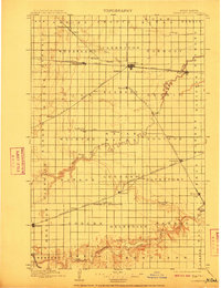
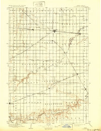
1897 Map of Casselton
USGS Topo · Published 1897About this map
The Northern Pacific R. R. and Great Northern R. R. intersect in the late nineteenth century to form the backbone of this prairie landscape. Casselton emerges as a significant rail hub, serving as the focal point for the surrounding wheat country. The survey illustrates a highly organized grid of townships, including Wheatland, Everest, and Davenport, each punctuated by small settlements and post offices like Chaffee P.O. and Rita.
Find a feature on this map
69 named features on this map. Tap any name to fly to it.
Don’t see what you’re looking for? This feature index may not catch every label — zoom into the map to look around manually.
Map Details
Editions of this 1897 Casselton Map
3 editions found
Other maps of this area

1895 · Fargo
USGS Topo · 1:125,000

1895 · Casselton
USGS Topo · 1:125,000

1897 · Fargo
USGS Topo · 1:125,000

1897 · Tower
USGS Topo · 1:125,000

1904 · Wahpeton
USGS Topo · 1:125,000

1907 · Wyndmere
USGS Topo · 1:125,000

1952 · Grand Forks
USGS Topo · 1:250,000

1953 · Fargo
USGS Topo · 1:250,000

1956 · Fargo
USGS Topo · 1:250,000

1956 · Grand Forks
USGS Topo · 1:250,000