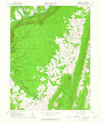
1963 Map of Cassville
USGS Topo · Published 1965About this map
Terrace Mountain and the dense canopy of the Rothrock State Forest dominate this 1963 survey of Huntingdon County. The landscape is defined by the steep ridges of The Barrens and Sideling Hill, where the winding course of Great Trough Creek carves through the terrain. Civil life is concentrated in small valley settlements like Cassville, Todd, and Calvin, connected by rural routes such as Trough Creek Drive.
Find a feature on this map
46 named features on this map. Tap any name to fly to it.
Don’t see what you’re looking for? This feature index may not catch every label — zoom into the map to look around manually.
Map Details
Editions of this 1963 Cassville Map
4 editions found
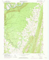
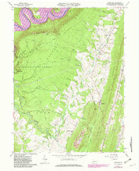
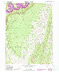
Other maps of this area

1901 · Huntingdon
USGS Topo · 1:62,500

1904 · Huntingdon
USGS Topo · 1:62,500

1922 · Mt Union
USGS Topo · 1:48,000

1924 · Mt. Union
USGS Topo · 1:62,500

1930 · Broad Top
USGS Topo · 1:62,500

1933 · Broad Top
USGS Topo · 1:62,500

1939 · Orbisonia
USGS Topo · 1:62,500

1940 · Orbisonia
USGS Topo · 1:62,500

1944 · Orbisonia
USGS Topo · 1:62,500

1944 · Mt. Union
USGS Topo · 1:62,500