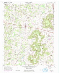
1960 Map of Cassville
USGS Topo · Published 1979About this map
Fanchers Mills and the nearby Hutchins College anchor the northwestern reaches of this White County landscape, where the plateau terrain meets a dense network of upland springs and hollows. The settlement pattern of the 1960s is defined by a high concentration of small community centers, often centered around institutions like Old Zion, Wesley Chapel, and Hensley Chapel. The topography is dominated by the dramatic rise of Spring Mountain and Walker Mountain, which separate the lower settlements near Cassville from the secluded drainage of Cashdollar Cove.
Find a feature on this map
58 named features on this map. Tap any name to fly to it.
Don’t see what you’re looking for? This feature index may not catch every label — zoom into the map to look around manually.
Map Details
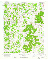
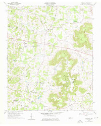
Editions of this 1960 Cassville Map
3 editions found
Other maps of this area

1892 · Pikeville
USGS Topo · 1:125,000

1893 · Mc Minnville
USGS Topo · 1:125,000

1895 · Mc Minnville
USGS Topo · 1:125,000

1895 · Pikeville
USGS Topo · 1:125,000

1897 · Standingstone
USGS Topo · 1:125,000

1898 · Standingstone
USGS Topo · 1:125,000

1943 · Cookeville
USGS Topo · 1:100,000

1944 · Cookeville
USGS Topo · 1:100,000

1953 · Chattanooga
USGS Topo · 1:250,000

1954 · Sparta
USGS Topo · 1:24,000