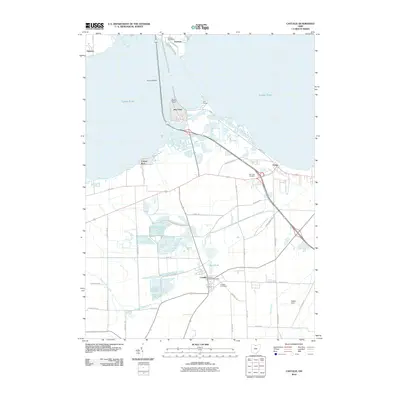
2010 Map of Castalia
USGS Topo · Published 2010About this map
Castalia and the southern shores of Lake Erie anchor this 2010 survey, showcasing a landscape defined by its coastal wetlands and limestone-influenced hydrology. A prominent feature is the Blue Hole, a natural artesian spring feeding into Cold Creek, which flows northward toward the lake through a complex network of waterways. The transition from the open waters of the bay to the inland marshes is further marked by the Resthaven Wildlife Area, a significant conservation tract that occupies much of the central terrain.
Find a feature on this map
46 named features on this map. Tap any name to fly to it.
Don’t see what you’re looking for? This feature index may not catch every label — zoom into the map to look around manually.
Map Details
Editions of this 2010 Castalia Map
This is the sole edition of this map. No revisions or reprints were ever made.
Other maps of this area

1901 · Put-In-Bay
USGS Topo · 1:62,500

1901 · Bellevue
USGS Topo · 1:62,500

1903 · Bellevue
USGS Topo · 1:62,500

1903 · Put In Bay
USGS Topo · 1:62,500

1904 · Sandusky
USGS Topo · 1:62,500

1916 · Kelleys Island
USGS Topo · 1:62,500

1919 · Kelleys Island
USGS Topo · 1:62,500

1956 · Toledo
USGS Topo · 1:250,000

1957 · Vickery
USGS Topo · 1:24,000

1959 · Kimball
USGS Topo · 1:24,000