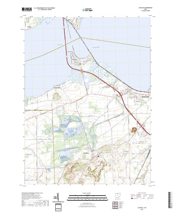
2023 Map of Castalia
USGS Topo · Published 2023About this map
Castalia and its surrounding wetlands anchor this study of the shoreline where Sandusky Bay meets Lake Erie. The landscape is defined by the complex hydrology of the region, where Cold Creek, Little Pickerel Creek, and Mills Creek drain toward the bay through a network of marshes and low-lying plains. This modern survey illustrates the persistent settlement patterns of Erie County, showing the proximity of lakeside communities like Bay View and Crystal Rock to the larger city of Sandusky just to the east.
Find a feature on this map
73 named features on this map. Tap any name to fly to it.
Don’t see what you’re looking for? This feature index may not catch every label — zoom into the map to look around manually.
Map Details
Editions of this 2023 Castalia Map
This is the sole edition of this map. No revisions or reprints were ever made.
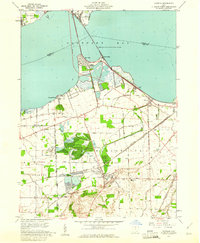
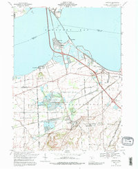
Historical Maps of Venice Through Time
Featured Locations
- Sandusky, OH
- Danbury, Danbury Township
- Bay Bridge, Margaretta Township
- Bay View, Margaretta Township
- Castalia, Margaretta Township