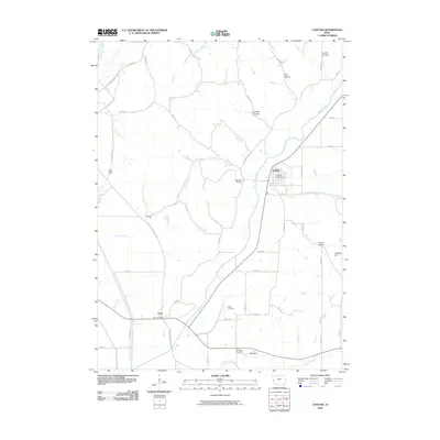
2010 Map of Castana
USGS Topo · Published 2010About this map
The Maple River valley and the Little Sioux River corridor define the rural landscape of Monona County in the early twenty-first century. This western Iowa region is anchored by the small settlement of Castana, where the Castana Post Office serves the community near the banks of the river. To the southwest, the town of Turin sits at the junction of Larpenteur Memorial Rd and Nutmeg Ave, with its own Turin Post Office marking the village center.
Find a feature on this map
39 named features on this map. Tap any name to fly to it.
Don’t see what you’re looking for? This feature index may not catch every label — zoom into the map to look around manually.
Map Details
Editions of this 2010 Castana Map
This is the sole edition of this map. No revisions or reprints were ever made.
Other maps of this area

1954 · Omaha
USGS Topo · 1:250,000

1954 · Fort Dodge
USGS Topo · 1:250,000

1955 · Sioux City
USGS Topo · 1:250,000

1955 · Fremont
USGS Topo · 1:250,000

1957 · Fremont
USGS Topo · 1:250,000

1957 · Omaha
USGS Topo · 1:250,000

1957 · Fort Dodge
USGS Topo · 1:250,000

1958 · Sioux City
USGS Topo · 1:250,000

1958 · Omaha
USGS Topo · 1:250,000

1958 · Fremont
USGS Topo · 1:250,000