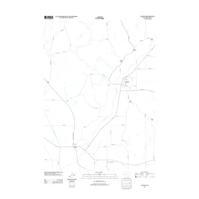
2013 Map of Castana
USGS Topo · Published 2013About this map
The Maple River valley anchors this West-Central Iowa landscape, winding southward toward the small community of Castana. The settlement is defined by its grid of streets including Ash St, Oak St, and Elm St, situated where Cottonwood Cr joins the larger river. To the southwest, the village of Turin sits at the intersection of Larpenteur Memorial Rd and State Route 175, positioned near the meandering course of the Little Sioux River.
Find a feature on this map
47 named features on this map. Tap any name to fly to it.
Don’t see what you’re looking for? This feature index may not catch every label — zoom into the map to look around manually.
Map Details
Editions of this 2013 Castana Map
This is the sole edition of this map. No revisions or reprints were ever made.
Other maps of this area

1954 · Omaha
USGS Topo · 1:250,000

1954 · Fort Dodge
USGS Topo · 1:250,000

1955 · Sioux City
USGS Topo · 1:250,000

1955 · Fremont
USGS Topo · 1:250,000

1957 · Fremont
USGS Topo · 1:250,000

1957 · Omaha
USGS Topo · 1:250,000

1957 · Fort Dodge
USGS Topo · 1:250,000

1958 · Sioux City
USGS Topo · 1:250,000

1958 · Omaha
USGS Topo · 1:250,000

1958 · Fremont
USGS Topo · 1:250,000