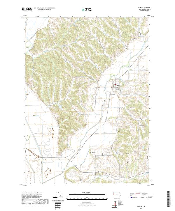
2022 Map of Castana
USGS Topo · Published 2022About this map
Castana sits at the junction of the Maple River and several distinct valley formations, including Gingles Hollow and Nutt Hollow. This western Iowa landscape is defined by the sharp transition between the alluvial plains of the Little Sioux River and the undulating loess hills to the east. The settlement of Turin anchors the southwestern portion of the sheet, situated near the confluence of the Maple and Little Sioux rivers.
Find a feature on this map
50 named features on this map. Tap any name to fly to it.
Don’t see what you’re looking for? This feature index may not catch every label — zoom into the map to look around manually.
Map Details
Editions of this 2022 Castana Map
This is the sole edition of this map. No revisions or reprints were ever made.
Other maps of this area

1954 · Omaha
USGS Topo · 1:250,000

1954 · Fort Dodge
USGS Topo · 1:250,000

1955 · Sioux City
USGS Topo · 1:250,000

1955 · Fremont
USGS Topo · 1:250,000

1957 · Fremont
USGS Topo · 1:250,000

1957 · Omaha
USGS Topo · 1:250,000

1957 · Fort Dodge
USGS Topo · 1:250,000

1958 · Sioux City
USGS Topo · 1:250,000

1958 · Omaha
USGS Topo · 1:250,000

1958 · Fremont
USGS Topo · 1:250,000