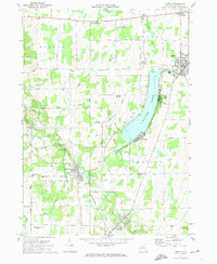
1972 Map of Castile
USGS Topo · Published 1974About this map
Silver Lake serves as the central focal point of this western New York landscape, surrounded by a mix of recreation and industry in the early 1970s. The eastern shore is characterized by seasonal and permanent settlements like Fairview and Silver Lake, while the western side features more open terrain and the Silver Lake Road. To the south and west, the economy is anchored by the transportation corridor of the Baltimore and Ohio and Erie-Lackawanna railroads, which converge near Silver Springs.
Find a feature on this map
72 named features on this map. Tap any name to fly to it.
Don’t see what you’re looking for? This feature index may not catch every label — zoom into the map to look around manually.
Map Details
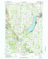
Editions of this 1972 Castile Map
2 editions found
Other maps of this area

1904 · Batavia
USGS Topo · 1:62,500

1904 · Caledonia
USGS Topo · 1:62,500

1905 · Portage
USGS Topo · 1:62,500

1905 · Nunda
USGS Topo · 1:62,500

1943 · Mount Morris
USGS Topo · 1:24,000

1943 · Warsaw
USGS Topo · 1:24,000

1943 · Nunda
USGS Topo · 1:24,000

1943 · Castile
USGS Topo · 1:24,000

1943 · Portageville
USGS Topo · 1:24,000

1943 · Pike
USGS Topo · 1:24,000