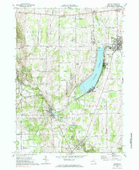
1972 Map of Castile
USGS Topo · Published 1985About this map
Silver Lake serves as the central anchor of this Wyoming County landscape, where recreation and industry met in the early 1970s. The eastern shore is densely developed with the seasonal community of Fairview and the Silver Lake Drive-in Theater, while the village of Perry sits just beyond the northern Silver Lake Outlet. Transport history is preserved through the complex rail junctions at Silver Lake Junction, where the Baltimore and Ohio and Erie-Lackawanna lines converge near the village of Silver Springs.
Find a feature on this map
70 named features on this map. Tap any name to fly to it.
Don’t see what you’re looking for? This feature index may not catch every label — zoom into the map to look around manually.
Map Details
Editions of this 1972 Castile Map
2 editions found
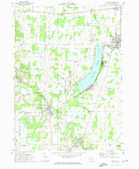
Other maps of this area

1904 · Batavia
USGS Topo · 1:62,500

1904 · Caledonia
USGS Topo · 1:62,500

1905 · Portage
USGS Topo · 1:62,500

1905 · Nunda
USGS Topo · 1:62,500

1943 · Mount Morris
USGS Topo · 1:24,000

1943 · Warsaw
USGS Topo · 1:24,000

1943 · Nunda
USGS Topo · 1:24,000

1943 · Castile
USGS Topo · 1:24,000

1943 · Portageville
USGS Topo · 1:24,000

1943 · Pike
USGS Topo · 1:24,000