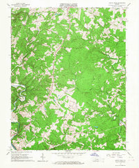
1966 Map of Castle Craig
USGS Topo · Published 1967About this map
Big Otter River and the Roanoke River converge in the southwest corner of this mid-1960s study, marking the rugged boundary between Campbell and Pittsylvania counties. The landscape is defined by the winding drainages of Seneca Creek and Troublesome Creek, which cut through the Cheese Hills. Small rural communities and crossroads such as Kingston and Castle Craig anchor the local road network, surrounded by numerous country churches that served as the social centers for these upland settlements.
Find a feature on this map
27 named features on this map. Tap any name to fly to it.
Don’t see what you’re looking for? This feature index may not catch every label — zoom into the map to look around manually.
Map Details
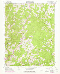
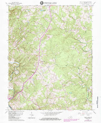
Editions of this 1966 Castle Craig Map
3 editions found
Other maps of this area

1892 · Lynchburg
USGS Topo · 1:125,000

1944 · Lynchburg
USGS Topo · 1:62,500

1947 · Roanoke
USGS Topo · 1:250,000

1950 · Goode
USGS Topo · 1:62,500

1950 · Lynchburg
USGS Topo · 1:62,500

1951 · Altavista
USGS Topo · 1:62,500

1956 · Gladys
USGS Topo · 1:62,500

1959 · Roanoke
USGS Topo · 1:250,000

1963 · Roanoke
USGS Topo · 1:250,000

1963 · City Farm
USGS Topo · 1:24,000