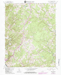
1966 Map of Castle Craig
USGS Topo · Published 1984About this map
The Big Otter River carves through the landscape of Campbell and Pittsylvania counties, defining the southwestern corner of this mid-century survey. The Norfolk and Western Ry runs as a primary north-south artery through the heart of the region, passing directly through the community of Kingston and near Castle Craig. This corridor was clearly a focal point for settlement, with numerous small churches and cemeteries dotting the hillsides adjacent to the tracks.
Find a feature on this map
26 named features on this map. Tap any name to fly to it.
Don’t see what you’re looking for? This feature index may not catch every label — zoom into the map to look around manually.
Map Details
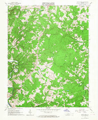
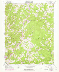
Editions of this 1966 Castle Craig Map
3 editions found
Other maps of this area

1892 · Lynchburg
USGS Topo · 1:125,000

1944 · Lynchburg
USGS Topo · 1:62,500

1947 · Roanoke
USGS Topo · 1:250,000

1950 · Goode
USGS Topo · 1:62,500

1950 · Lynchburg
USGS Topo · 1:62,500

1951 · Altavista
USGS Topo · 1:62,500

1956 · Gladys
USGS Topo · 1:62,500

1959 · Roanoke
USGS Topo · 1:250,000

1963 · Roanoke
USGS Topo · 1:250,000

1963 · City Farm
USGS Topo · 1:24,000