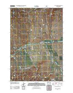
2011 Map of Castle Creek
USGS Topo · Published 2011About this map
John Day River flows through this corner of Grant County, serving as the central geographic feature for a landscape defined by ranching and historical mining activity. A series of family-named ranching outposts, including H Ricco Ranch, Kuhl Ranch, and the neighboring Holiday Ranch and Holliday Ranch, line the river and its tributaries. These settlements are linked by a network of rural routes such as the Indian Creek Rd and Keeney Forks Rd. The topography is marked by notable heights like Hall Hill and Red Hill, while the John Day River Dam indicates early 21st-century water management. In the southwest, Prairie Diggings points to the area's prospecting history near the drainage of Dissel Creek. This map captures a rural Oregon environment where names like Butch Foster Saddle and Oliver Rock preserve local family histories in the physical landscape.
Find a feature on this map
44 named features on this map. Tap any name to fly to it.
Don’t see what you’re looking for? This feature index may not catch every label — zoom into the map to look around manually.
Map Details
Editions of this 2011 Castle Creek Map
This is the sole edition of this map. No revisions or reprints were ever made.
Other maps of this area

1940 · John Day
USGS Topo · 1:62,500

1943 · John Day
USGS Topo · 1:62,500

1949 · Susanville
USGS Topo · 1:62,500

1951 · Susanville
USGS Topo · 1:62,500

1951 · Bates
USGS Topo · 1:62,500

1955 · Canyon City
USGS Topo · 1:250,000

1959 · Canyon City
USGS Topo · 1:250,000

1959 · Prairie City
USGS Topo · 1:62,500

1972 · John Day
USGS Topo · 1:24,000

1972 · Canyon Mtn
USGS Topo · 1:24,000