
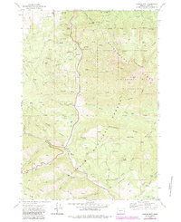
1972 Map of Canyon Mtn
USGS Topo · Published 1976About this map
Malheur National Forest dominates this topographic survey of the Strawberry Range, revealing a landscape shaped by both geological upheaval and human industry in the early 1970s. The central corridor along Canyon Creek shows evidence of heavy resource extraction, notably the Dredge Tailings near Cherry Gulch, while various extraction points like the Iron King Mine and Golden West Mine are scattered across the slopes of Little Canyon Mtn. High-altitude features such as the Eagle Peak Radio Facility and the Strawberry Mountain Wilderness boundary mark the transition into more protected terrain. The presence of Cougar Camp and numerous named springs, including Rattlesnake Spring and Fawn Spring, suggests a region used for seasonal work and mountain transit. This map provides a look at the infrastructure of the forest during this era, from established rest areas to the network of jeep trails and pack trails connecting the Aldrich Mts to the high peaks.
Find a feature on this map
68 named features on this map. Tap any name to fly to it.
Don’t see what you’re looking for? This feature index may not catch every label — zoom into the map to look around manually.
Map Details
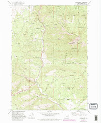
Editions of this 1972 Canyon Mtn Map
3 editions found
Other maps of this area

1940 · Mount Vernon
USGS Topo · 1:62,500

1940 · John Day
USGS Topo · 1:62,500

1943 · John Day
USGS Topo · 1:62,500

1943 · Mount Vernon
USGS Topo · 1:62,500

1955 · Canyon City
USGS Topo · 1:250,000

1959 · Canyon City
USGS Topo · 1:250,000

1961 · Logdell
USGS Topo · 1:62,500

1961 · Seneca
USGS Topo · 1:62,500

1972 · John Day
USGS Topo · 1:24,000
1972 · Mount Vernon
USGS Topo · 1:24,000