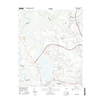
2016 Map of Castle Hayne
USGS Topo · Published 2016About this map
The Northeast Cape Fear River meanders through this coastal landscape, defining the boundary between Pender and New Hanover counties before joining the Cape Fear River. The northern portion of Wilmington anchors the southern edge of the sheet, where industry and transportation corridors converge near Eagle Island. This area showcases the transition from the urban density of the city to the unincorporated communities of Skippers Corner and Castle Hayne.
Find a feature on this map
162 named features on this map. Tap any name to fly to it.
Don’t see what you’re looking for? This feature index may not catch every label — zoom into the map to look around manually.
Map Details
Editions of this 2016 Castle Hayne Map
This is the sole edition of this map. No revisions or reprints were ever made.
Other maps of this area

1942 · Wilmington
USGS Topo · 1:62,500

1943 · Winnabow
USGS Topo · 1:24,000

1944 · Winnabow
USGS Topo · 1:31,680

1947 · Rocky Point
USGS Topo · 1:62,500

1948 · Wilmington
USGS Topo · 1:62,500

1950 · Winnabow
USGS Topo · 1:25,000

1953 · Florence
USGS Topo · 1:250,000

1953 · Beaufort
USGS Topo · 1:250,000

1954 · Florence
USGS Topo · 1:250,000

1954 · Beaufort
USGS Topo · 1:250,000