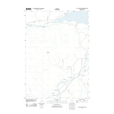
2012 Map of Castle Rock Creek
USGS Topo · Published 2012About this map
The confluence of the N Fork Shoshone River and the S Fork Shoshone River feeds into the expansive Buffalo Bill Reservoir in this section of Park County. The landscape is characterized by a mix of high-altitude ranching and rugged topography, including the prominent massif of Sheep Mountain and the distinct volcanic spire of Castle Rock. Human presence is marked by a network of private holdings and irrigation infrastructure like the Wilson-McKissack Ditch, which supports operations such as the Stout Ranch and Castle Rock Ranch.
Find a feature on this map
35 named features on this map. Tap any name to fly to it.
Don’t see what you’re looking for? This feature index may not catch every label — zoom into the map to look around manually.
Map Details
Editions of this 2012 Castle Rock Creek Map
This is the sole edition of this map. No revisions or reprints were ever made.
Other maps of this area

1949 · Pat O'Hara Mountain
USGS Topo · 1:62,500

1949 · Cody
USGS Topo · 1:62,500

1951 · Cody
USGS Topo · 1:62,500

1955 · Cody
USGS Topo · 1:250,000

1957 · Wapiti
USGS Topo · 1:62,500

1957 · Devils Tooth
USGS Topo · 1:62,500

1958 · Cody
USGS Topo · 1:250,000

1962 · Cody
USGS Topo · 1:250,000

1980 · Carter Mountain
USGS Topo · 1:100,000

1980 · Cody
USGS Topo · 1:100,000