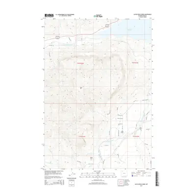
2015 Map of Castle Rock Creek
USGS Topo · Published 2015About this map
The North Fork Shoshone River flows into the western edge of Buffalo Bill Reservoir, marking a transition between the open water and the high-elevation terrain of Park County. To the south, the South Fork Shoshone River carves through the landscape, flanked by prominent features like Castle Rock and the rising slopes of Sheep Mtn. The region is defined by a complex network of irrigation and transportation, including the Wilson-McKissack Ditch and the Neff Ditch, which support local activity near the Bar Flying E Airport. Landowners and researchers can trace rural developments along corridors such as Stagecoach Trl and Lower Southfork Rd, while landforms like Andy Martin Hill serve as distinctive landmarks in this high-desert environment.
Find a feature on this map
45 named features on this map. Tap any name to fly to it.
Don’t see what you’re looking for? This feature index may not catch every label — zoom into the map to look around manually.
Map Details
Editions of this 2015 Castle Rock Creek Map
This is the sole edition of this map. No revisions or reprints were ever made.
Other maps of this area

1949 · Pat O'Hara Mountain
USGS Topo · 1:62,500

1949 · Cody
USGS Topo · 1:62,500

1951 · Cody
USGS Topo · 1:62,500

1955 · Cody
USGS Topo · 1:250,000

1957 · Wapiti
USGS Topo · 1:62,500

1957 · Devils Tooth
USGS Topo · 1:62,500

1958 · Cody
USGS Topo · 1:250,000

1962 · Cody
USGS Topo · 1:250,000

1980 · Carter Mountain
USGS Topo · 1:100,000

1980 · Cody
USGS Topo · 1:100,000