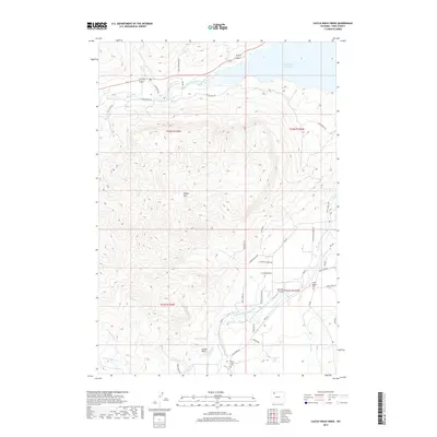
2017 Map of Castle Rock Creek
USGS Topo · Published 2017About this map
Buffalo Bill Reservoir dominates the northern reaches of this landscape, where the North Fork Shoshone River meets the impounded waters. The terrain is defined by dramatic elevations including Sheep Mtn and the prominent landmark of Castle Rock, illustrating the complex drainage systems of Castle Rock Cr and Deer Cr. Human intervention in this arid environment is evidenced by the network of irrigation features such as the Wilson-McKissack Ditch and Neff Ditch, which support local ranching and agriculture.
Find a feature on this map
44 named features on this map. Tap any name to fly to it.
Don’t see what you’re looking for? This feature index may not catch every label — zoom into the map to look around manually.
Map Details
Editions of this 2017 Castle Rock Creek Map
This is the sole edition of this map. No revisions or reprints were ever made.
Other maps of this area

1949 · Pat O'Hara Mountain
USGS Topo · 1:62,500

1949 · Cody
USGS Topo · 1:62,500

1951 · Cody
USGS Topo · 1:62,500

1955 · Cody
USGS Topo · 1:250,000

1957 · Wapiti
USGS Topo · 1:62,500

1957 · Devils Tooth
USGS Topo · 1:62,500

1958 · Cody
USGS Topo · 1:250,000

1962 · Cody
USGS Topo · 1:250,000

1980 · Carter Mountain
USGS Topo · 1:100,000

1980 · Cody
USGS Topo · 1:100,000