Loading...
Loading map...1894 Map of Castle Rock
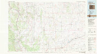
USGS Topo · Published 1898About this map
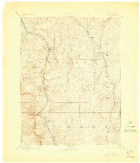
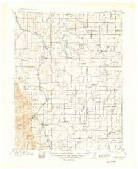
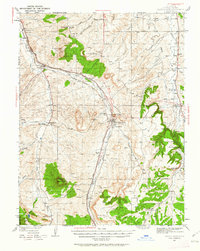
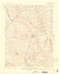
Castle Rock stands as the central landmark in this late nineteenth-century reconnaissance of the Front Range foothills and plains. The map illustrates a landscape transitioning from the steep grades of Mt Herman to the dendritic drainage basins of Cherry Creek and Kiowa Creek. This era of development is defined by the competing paths of the Denver and Rio Grande Railroad and the Denver and New Orleans Railroad, which carved essential transit corridors through the drainage of Plum Creek and beyond.
Find a feature on this map
34 named features on this map. Tap any name to fly to it.
Don’t see what you’re looking for? This feature index may not catch every label — zoom into the map to look around manually.
Map Details
Date Portrayed1894
Date Published1898
PublisherU.S. Geological Survey
Map TypeTopographic
Scale1:125,000
Physical Dimensions19.04 x 22.17 inches
Editions of this 1894 Castle Rock Map
2 editions found

Historical Maps of Colorado Springs Through Time
5 maps found
Featured Locations
Source Details
SourceU.S. Geological Survey
CopyrightPublic Domain